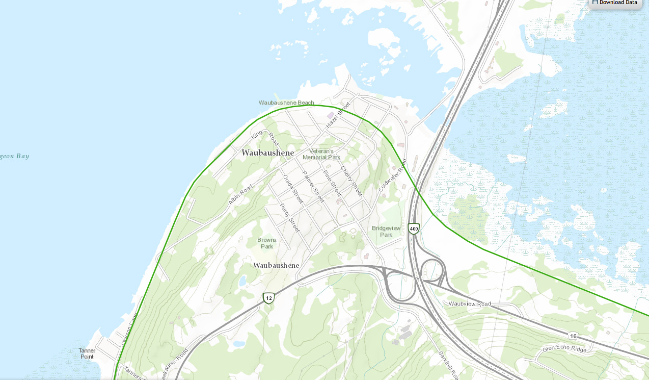
Tay is a town in Central Ontario located in the Southern Georgian Bay Region. On my way home from a lovely 4 days at Grundy Lake Provincial Park, I decided to stop for a short trek on the Trans Canada Trail to stretch my legs, break up the four hour drive, and check out the area. I was not disappointed in what I saw and was very happy I made the decision to make the stop. This is the area I went to:
The Trans Canada Trail is gaining a lot of attention, moreso lately, as it is getting closer to achieving it’s goal of connecting the entire country of Canada. I started learning about the trail, only a few months ago while I was in the process of applying for the http://www.woods.ca/en/ Woods Explorer Dream Job, where they would pick 2 adventurists to hike and explore the Trans Canada Trail for 5 months as a job. Who wouldn’t want to do that? Unfortunately, I did not make the cut, along with about 3800 other Canadians who applied. They chose two couples who all seem like absolutely fabulous people and great adventurers. Watching the video for the job posting and then watching the explorers adventures’ re ignited some of my explorer passions, It also made me extremely curious about the Trans Canada Trail and I started researching it and where the trail was near me.
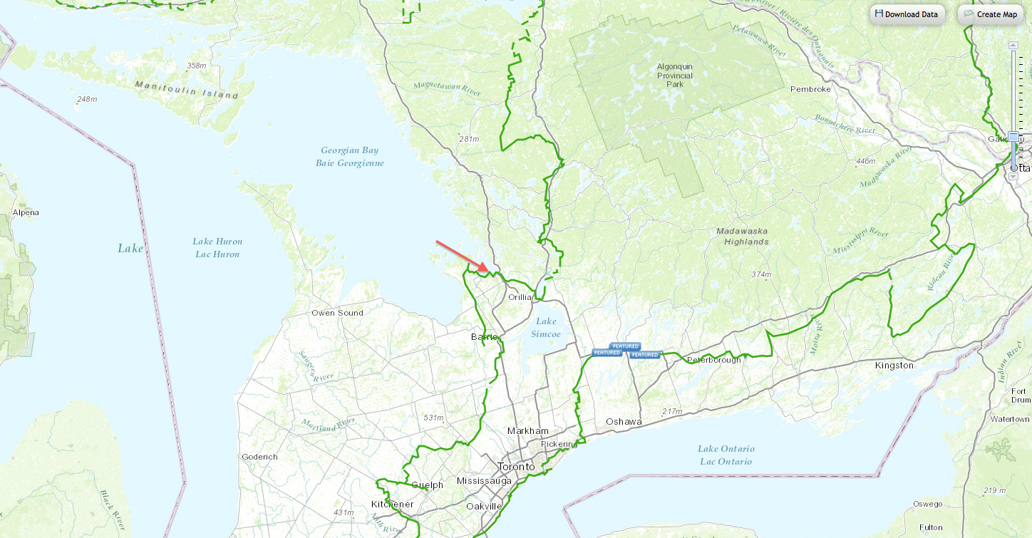
“To date, just over 18,000 kilometres of the Trail are operational which is 80 percent of the proposed route. Four out of five Canadians live within 30 minutes of the Trail.” (taken from the TC Trail website, hope that’s okay guys, wanted to make sure I was accurate in my facts! ) The TC Trail has a great website which has an incredible map you can use to find where the trail is located near you and what type of trail it is, if it is used for walking, biking, horses, etc, etc. You can find the map here.
The Wood’s Explorer’s are doing an excellent job of blogging, tweeting, facebooking and posting about the trail, but I believe it can use all the attention it can get. With such an ambitious goal, and the trail being so amazing, I have decided to award myself a personal ambassadorship to help promote the trail in any way I can. Therefore, I chose to stop on the way home from another adventure to check out a small portion, not as close to home, as the others sections I’ve done.
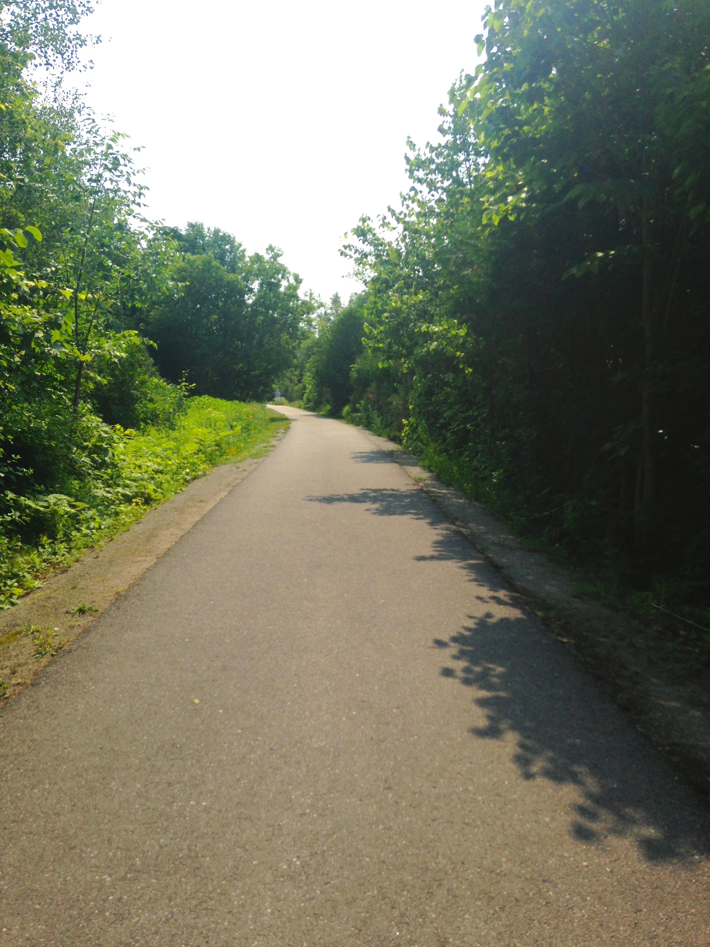
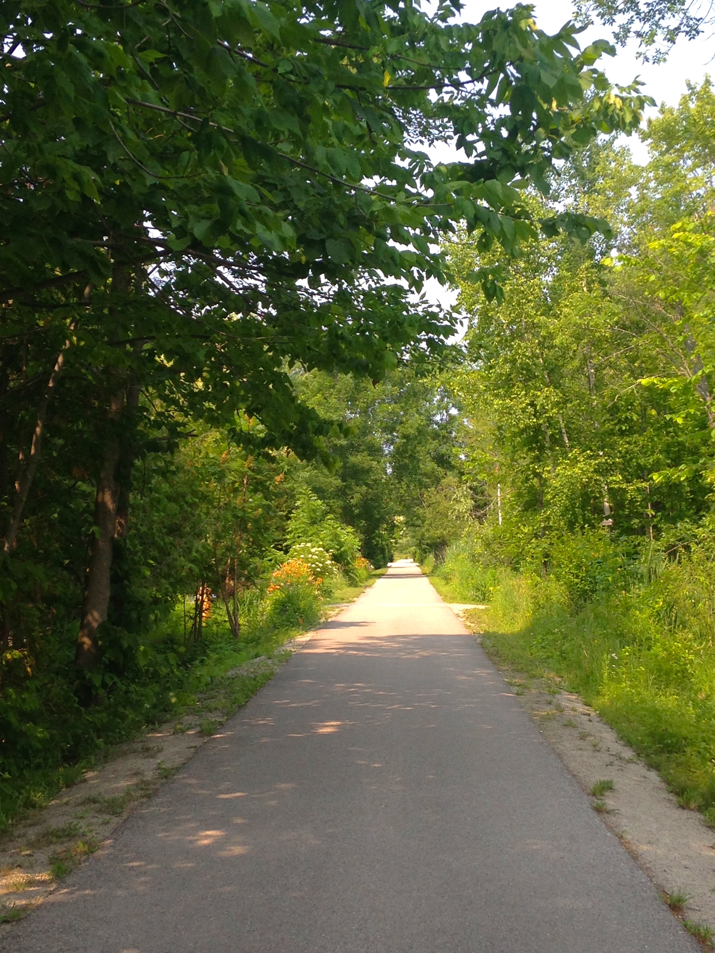
The TC Trail in Tay, Ontario, is absolutely stunning. I walked only a small portion as I was with my mom and she was tired from 4 days of adventures in Grundy Lake, but we still managed to go from Pine Street to Albion Road.
One of many things I really love about the trail in general is that it is accessible to everyone. The trail is clearly marked, in many places I’ve been it’s also paved, and full of things to see along the way. This trail was no different than the others I’ve experienced in that respect, but every portion I’ve done thus far, is different in other ways.
We started at Pine Street which is at Waubaushene Beach. There is a small pier with a picnic table at the end and a white sandy beach.
One we started walking along the trail we noticed that it seemed to split the properties on either side of it. As we walked to the left of us were homes, cottages, etc, and to the right were their boat houses, decks, sheds, and water access. I think because of this, it looked to me like the residents have planted flowers and shrubs to adorn the side of the trail and there were many areas thriving with wild flowers and perennials.
After we walked for a bit we came across a memorial bench, a lovely place to sit and stare out at Georgian Bay. We also came across this sign.
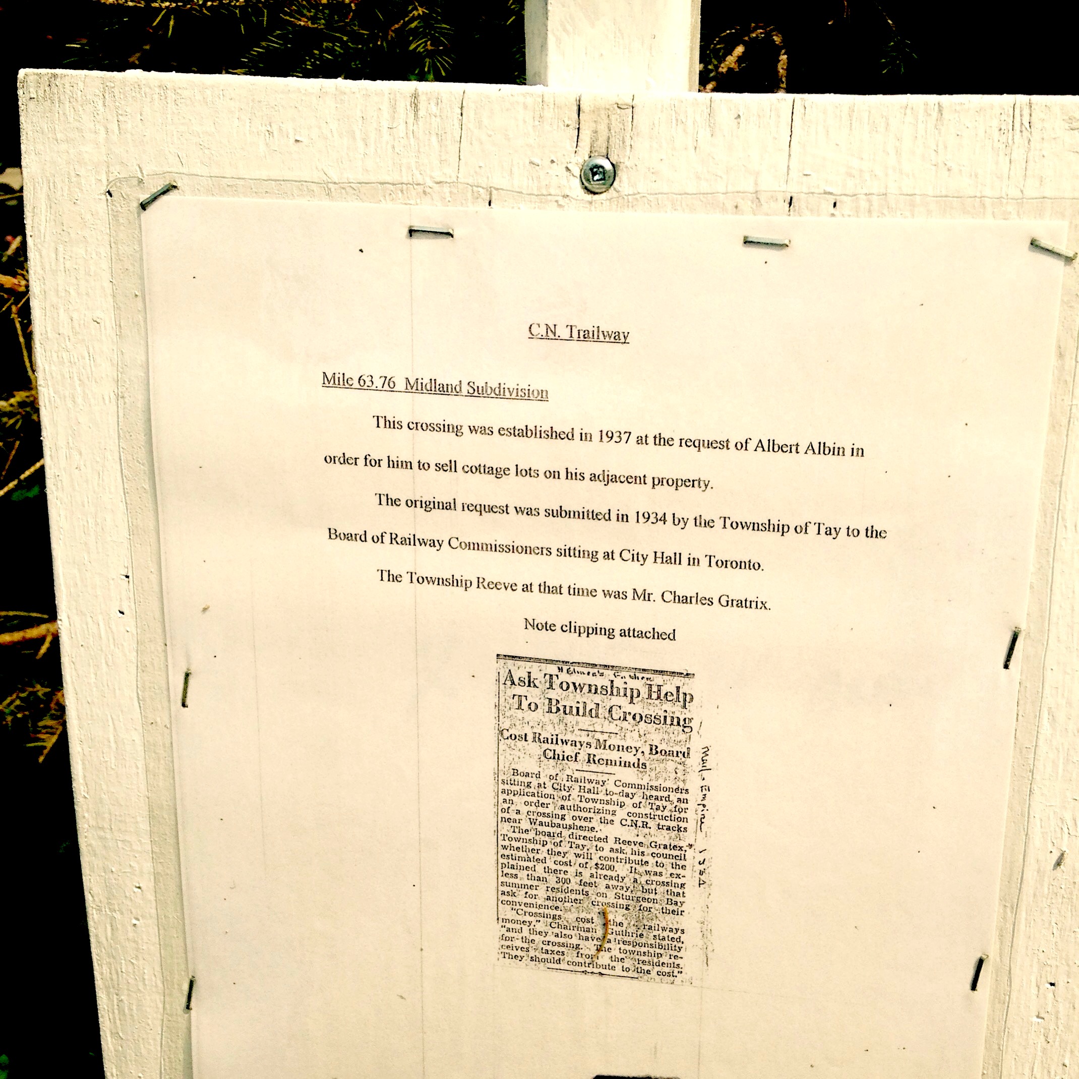
It was a beautiful day, hot and sunny, with a few clouds here and there. We continued on and found these signs posted along the edges of the residents properties. I stopped to photograph each one and read them to learn more about the history of the trail in this part of the country and also wanted to share it with others who can’t make it to this part of the trail.
This section of the trail we did was really pretty, very informative and you walk right beside Georgian Bay. There are lots of cool things to see and learn about and i think if you live in this area, or are passing through, as we were, it’s a wonderful place to stop and stretch your legs and go for a stroll or take a bike ride on. We saw many people riding their bikes along the trail and if I’d had mine, I would definitely have done a larger section, something to discover for next time, I suppose. When we returned to Waubaushene Beach, we took a walk to the end of the pier and sat at the provided picnic table and enjoyed a rest and a beautiful view.
If you use the trail, love the trail, love to inspire others to get out and experience nature, know others who love the trail, please go to the TC Trail website and see if there is any way you can help them out. I do not work for the TC Trail in any way, I just am a nature lover who would like to see these people succeed in their mission in connecting the TC Trail across Canada. If you can help, I’m sure many people would appreciate it, including me!
Hope you enjoyed my post!
HAPPY HIKING!









Christina! What a great overview of the Tay section of the TCT! I felt like I was right there with you and the photos are so great! That path dividing the cottages and boat houses is so neat! And I love that you took photos of the plaques! Adam and I love plaques and we actually do the same thing so we can read them again later ! Haha that’s probably my favourite part is that you let us share the experience with you! You are such a. Amazing ambassador for the TCT!
Hey Melba! I sent you a tweet to express my gratitude for the amazing comment you left me! I know you are busy exploring and may not have seen it. Just wanted to formally say thanks for the incredible feedback. It touched my heart. I really appreciate you taking the time to read my post and comment! cheers! 🙂